
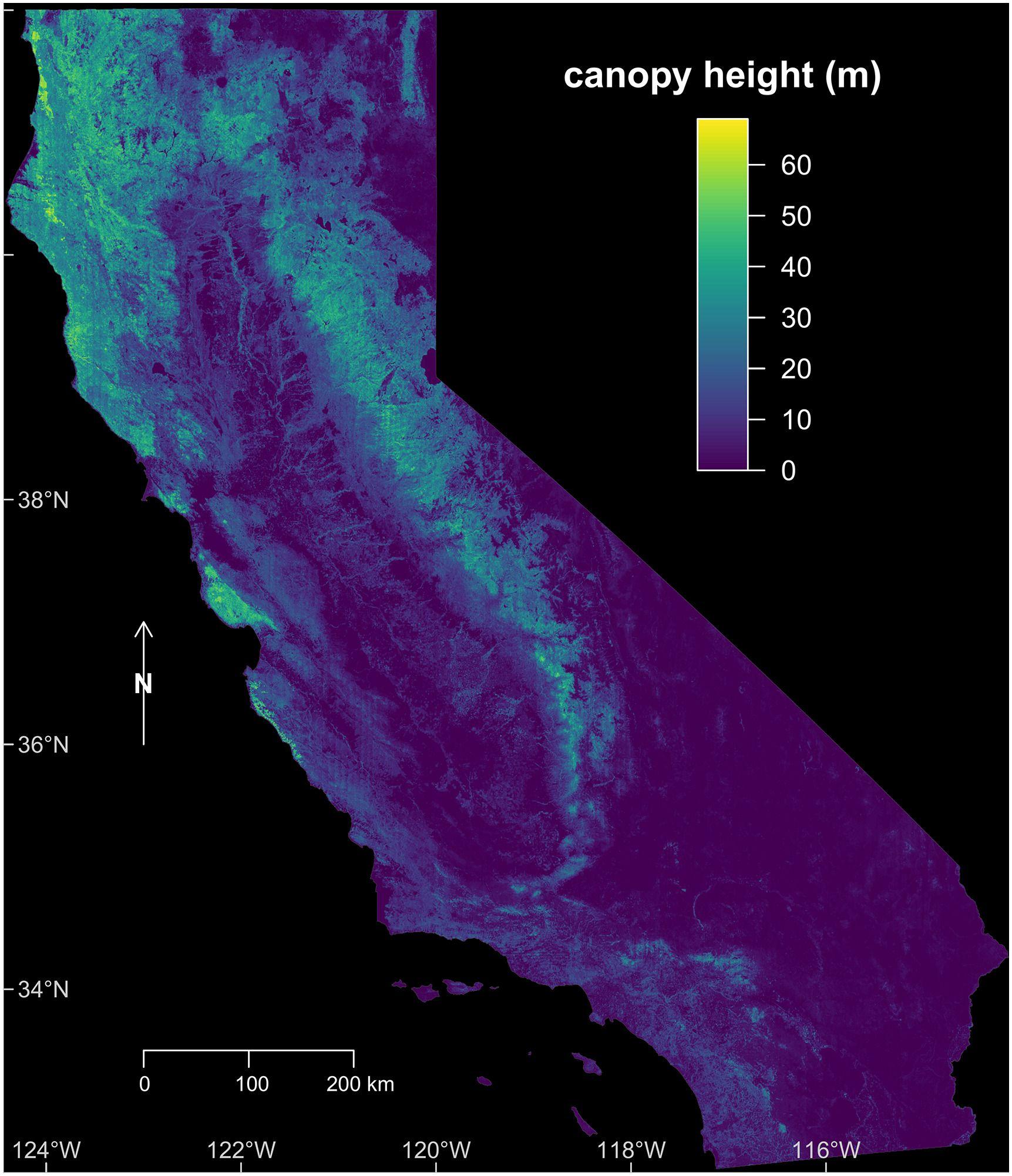
CTrees’ canopy height map for California in 2020 has been published on AWS Open Registry, a free catalog of more than 3,000 datasets from data providers across sectors. The CTrees data is now available as cloud-optimized geotiff files for any use.
The open dataset follows a paper published last month in Remote Sensing on Environment from lead author Fabien Wagner, Ph.D., that detailed a methodology for producing accurate canopy height maps using a deep learning model on very-high-resolution airborne imagery from the U.S. Department of Agriculture’s National Agriculture Imagery Program (NAIP). Wagner is a research scientist at CTrees and a postdoctoral researcher at the UCLA Institute of the Environment and Sustainability.
The canopy height map is the first CTrees dataset to be published on the AWS Open Registry.
CTrees’ data architecture is implemented in AWS, and the organization is a recipient of the AWS 2023 AWS IMAGINE Grant for Nonprofits. CTrees plans to make more of its scientific datasets available on the registry as they become available.


