

Estimate biomass carbon in any ecosystem
With CTrees maps, agencies and organizations can evaluate carbon trends in any ecosystem on land, including forests, woodlands, grasslands, urban areas, croplands, coastal wetlands, and mangroves.
Available in open products and as customized maps, the data can be used to improve forest inventories, establish annual monitoring, and verify the carbon impact of nature-based solutions.


With CTrees maps, agencies and organizations can evaluate carbon trends in any ecosystem on land, including forests, woodlands, grasslands, urban areas, croplands, coastal wetlands, and mangroves.
Available in open products and as customized maps, the data can be used to improve forest inventories, establish annual monitoring, and verify the carbon impact of nature-based solutions.
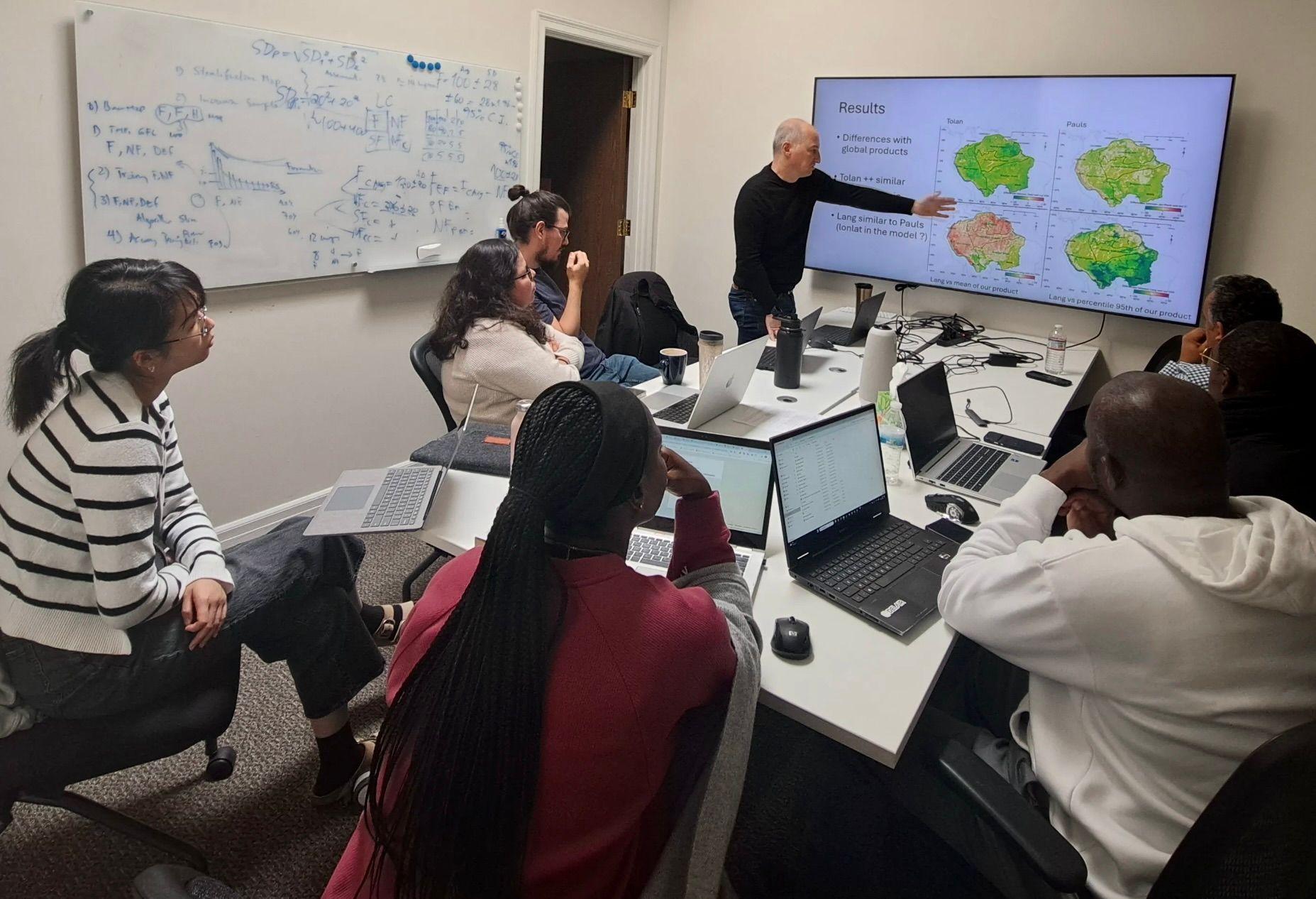
Partnering to improve forest monitoring in Gabon
Experts from Gabon’s national space agency worked with CTrees scientists to integrate data on deforestation, degradation, and carbon into national forest monitoring systems, supporting efforts to protect the country’s expansive tropical forests.
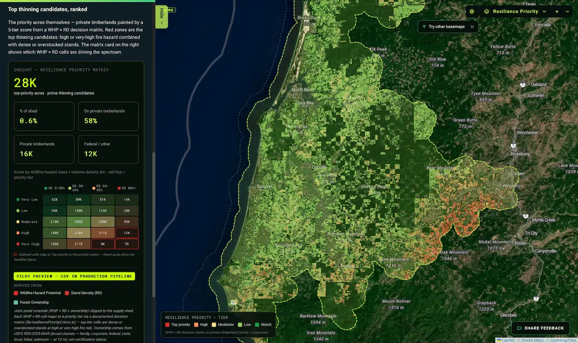
Developing advanced analytics for forest supply sheds
CTrees partnered with the Sustainable Forestry Initiative to build a pilot platform that combines ecological and economic metrics at the supply shed level to guide forest management decisions and enhance resilience.
see how biomass is changing in any ecosystem
Land use and land use change (LULUC) is one of the leading sources of global greenhouse gas emissions. Yet the impacts of LULUC remain difficult to quantify due to science limitations, differences in the definitions and methodologies used for national inventories, and a persistent lack of transparency in data.
To meet the need for accurate, annual data, CTrees scientists designed our land carbon maps to: (1) estimate global forest carbon at a scale that can reliably capture landscape variations, and (2) for the first time in any global map product, extend the estimates to all woody vegetation in non-forest areas, including woodland savanna, mixed shrub and grasslands, trees in urban areas and croplands, coastal wetlands, and mangroves.
Technology for annual monitoring of land carbon
To develop the land carbon maps, CTrees scientists combine local and national ground inventory data with remote sensing measurements from air and space. The methodology follows peer-reviewed science and approaches published by our team.
The global maps are produced annually at 1-hectare spatial resolution, along with uncertainty estimates and confidence intervals. The maps are regularly updated as new data sources become available, including radar satellite measurements from the NASA-ISRO NISAR mission and ESA’s Biomass mission.
The methodology includes novel techniques to map land carbon stocks and their changes over time, including:
Vegetation structure
Use of lidar measurements from NASA’s ICESat and GEDI satellites to develop a global dataset of vegetation structure and aboveground live biomass, calibrated with more than 1.5 million ground plot data points.
Change detection
Customization of machine learning algorithms for more than 800 ecoregions globally to systematically map biomass using satellite radar and optical imagery.
Below-ground biomass
Estimation of below-ground live biomass carbon stocks using ecological models and standards for global forest and non-forest vegetation types.
Uncertainty calculations
Estimation of uncertainty at mapping units and aggregated scales using advanced error propagation models.
Apply science for policy and investment
Organizations and agencies worldwide work with CTrees to apply our data and develop customized solutions for policy and investments, including to:
Monitor forest emissions and removals annually
Establish accurate forest reference emission levels for policy planning and REDD+ finance. Track emissions performance on a quarterly to annual basis.
Improve national forest inventories
Meet IPCC Tier 3 standards for the wall-to-wall mapping needed for national greenhouse gas inventories and nationally determined contributions to the Paris Agreement.
Establish emissions factors
Calculate emissions factors at the hectare level, and update them yearly to achieve more accurate estimates of emissions trends for projects or jurisdictions.
Monitor, report, and verify carbon market projects
Meet accuracy requirements for calculating emission factors at project and jurisdictional levels. Understand spatial confidence level for prediction of carbon risks and returns.
Expertise in land carbon monitoring
Land carbon datasets
Explore Data


Get In Touch
Contact us to see how our products can support your goals.