

Wildfire resilience
Estimate fuels and moisture at scales that matter for wildfire behavior modeling and decision-making
Get in touchAnalytics for forest fire monitoring, prevention, and mitigation planning
Climate change is rapidly reshaping wildfire regimes around the world, testing the limits of technologies meant to manage them. CTrees' data, models, and analytics support preventive action and wildfire resilience, from temperate to tropical forests.
Map fuels in three dimensions
Forest fire behavior is governed by where fuel sits between the forest floor and the top of the canopy. CTrees uses lidar and high-resolution imagery to create detailed, three-dimensional maps of complex fuel structures across forest landscapes, helping land managers anticipate risk and target treatments.

Forest fire behavior is governed by where fuel sits between the forest floor and the top of the canopy. CTrees uses lidar and high-resolution imagery to create detailed, three-dimensional maps of complex fuel structures across forest landscapes, helping land managers anticipate risk and target treatments.
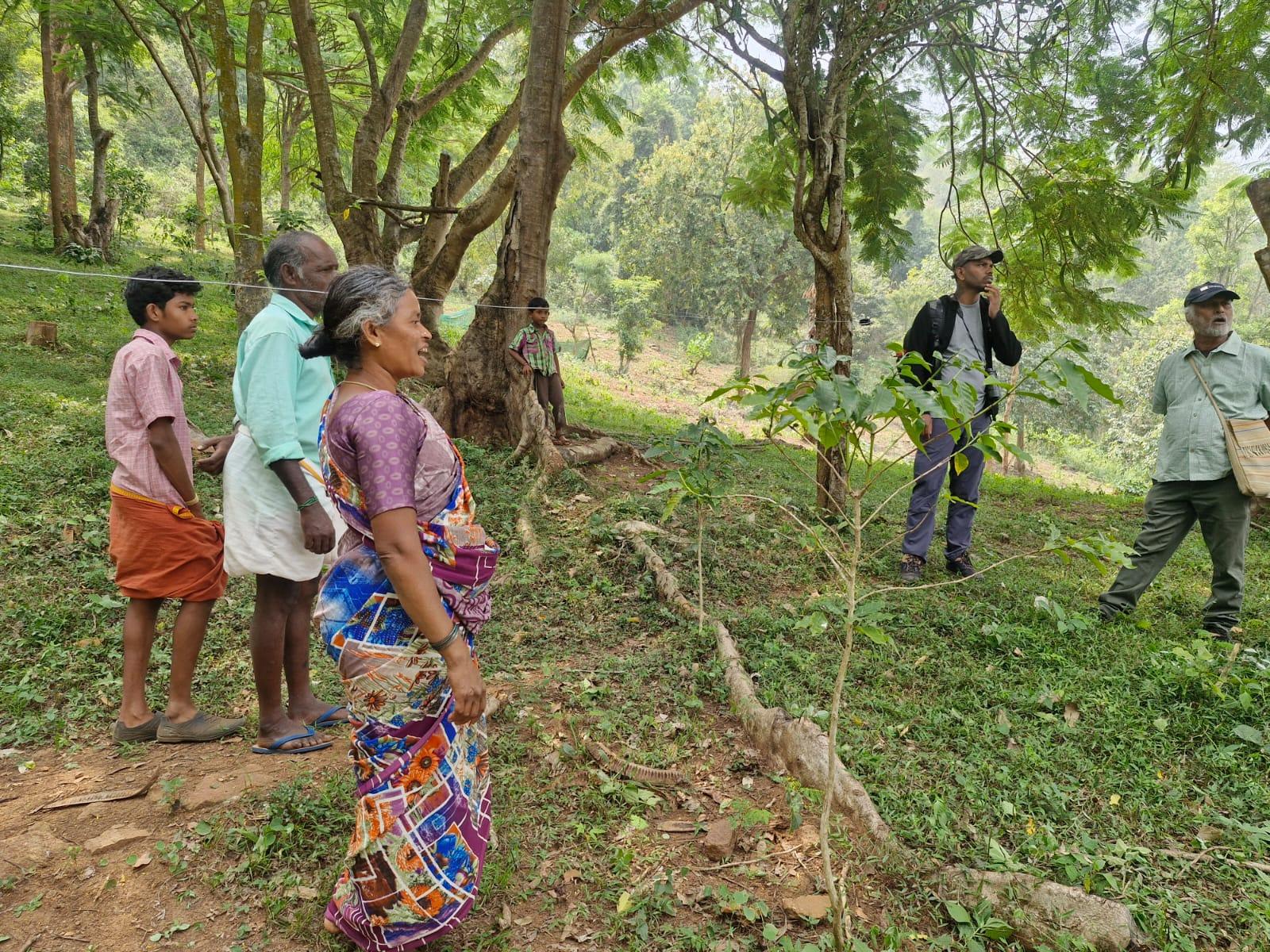
Technology for fire prevention in Tamil Nadu
Wildland fires in rural Tamil Nadu are an escalating, largely human-driven crisis that intensifies during dry summer months. With the Environmental Defense Fund, CTrees is supporting a state university and local partners to develop an early‑warning and decision‑support system to reduce fire risk across the state.
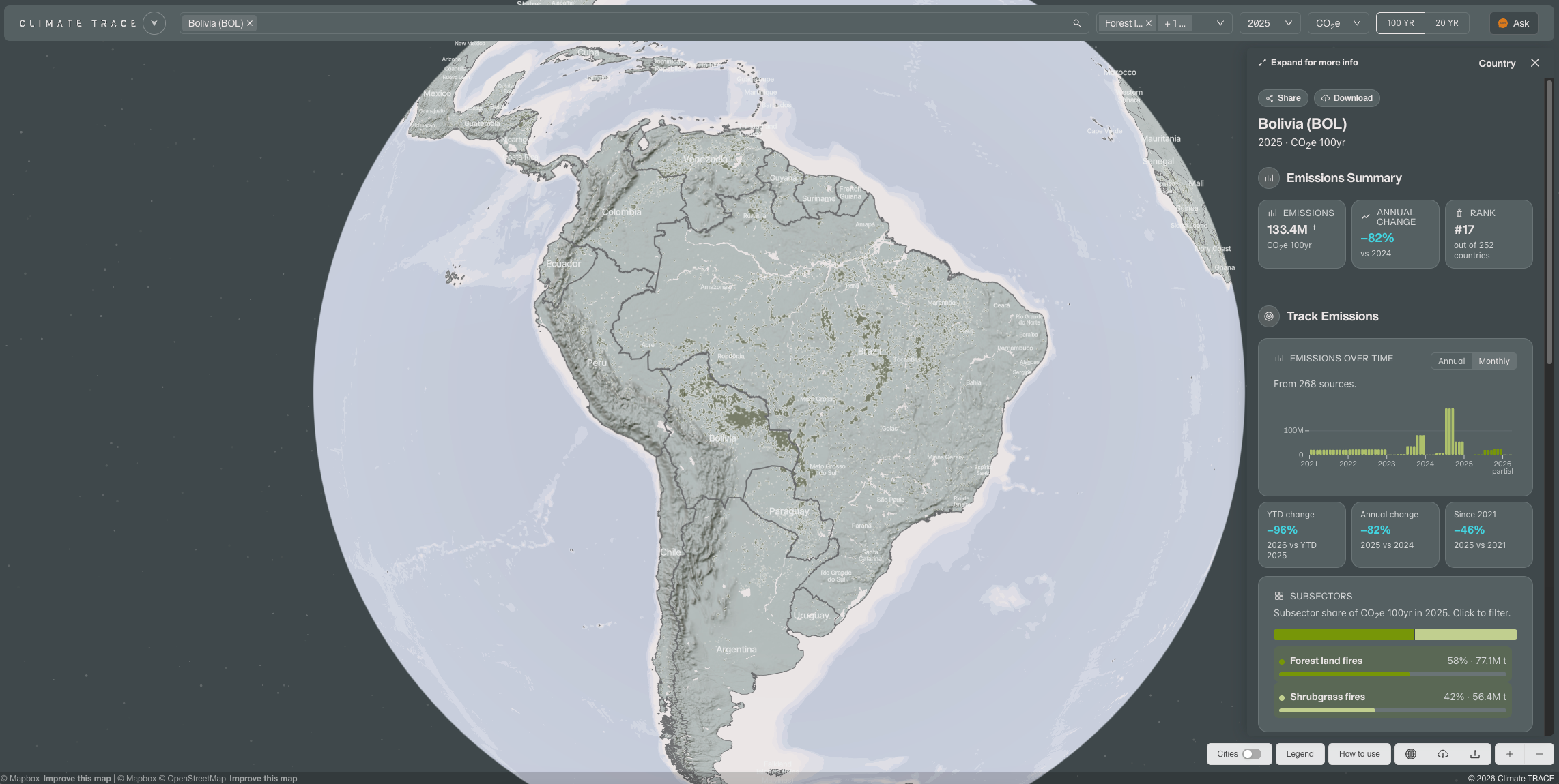
Estimating forest fire emissions in every country
In partnership with Climate TRACE, CTrees publishes open data on greenhouse gas emissions due to wildfire for every country, state, and municipality worldwide, on a quarterly and annual basis.
Observe fuel moisture as it changes
In a world of increasingly dry, disturbed forests, fuel moisture is an essential signal for fire management. CTrees’ satellite-based approach fuses optical, thermal, and microwave streams to see through smoke and cloud, providing fuel moisture data on a near-daily basis.

In a world of increasingly dry, disturbed forests, fuel moisture is an essential signal for fire management. CTrees’ satellite-based approach fuses optical, thermal, and microwave streams to see through smoke and cloud, providing fuel moisture data on a near-daily basis.
Forecast fire spread with AI
CTrees’ deep learning models are trained on satellite-observed fires and conditioned on the dynamic state of fuel and moisture in forests, providing hourly probability of spread from initial ignition through peak extent.

CTrees’ deep learning models are trained on satellite-observed fires and conditioned on the dynamic state of fuel and moisture in forests, providing hourly probability of spread from initial ignition through peak extent.
Expertise in remote sensing solutions for wildfire
Expertise in remote sensing solutions for wildfire
With deep experience in forest ecology and remote sensing technology, CTrees scientists are developing innovative approaches to help governments and organizations improve wildfire resilience.
Get In Touch
Contact us to see how our products can support your goals.
News
News, insights, and data


Stay Connected
Subscribe to our monthly newsletter and be the first to know about new data releases, research, and events.