


Monitor forest commodities at the individual tree level
The production and trade of agriculture and forest commodities starts at the scale of an individual tree. From tracking single tree crowns to an entire canopy across space and time, CTrees operates at the frontier of remote sensing technology, providing analytic tools for trade compliance monitoring (e.g., EUDR) or corporate sustainability reporting.
Detect forest structure and change
CTrees’ data allows for detailed assessment of how forests are structured, and how human activities and climate impacts are shaping them over time:
- Characterize tree canopy height at parcel to regional levels.
- Analyze deforestation, forest degradation, and regrowth.
- Plan agroforestry and landscape restoration in detail.
- Access quarterly to annual monitoring reports to track tree growth and loss.

CTrees’ data allows for detailed assessment of how forests are structured, and how human activities and climate impacts are shaping them over time:
- Characterize tree canopy height at parcel to regional levels.
- Analyze deforestation, forest degradation, and regrowth.
- Plan agroforestry and landscape restoration in detail.
- Access quarterly to annual monitoring reports to track tree growth and loss.
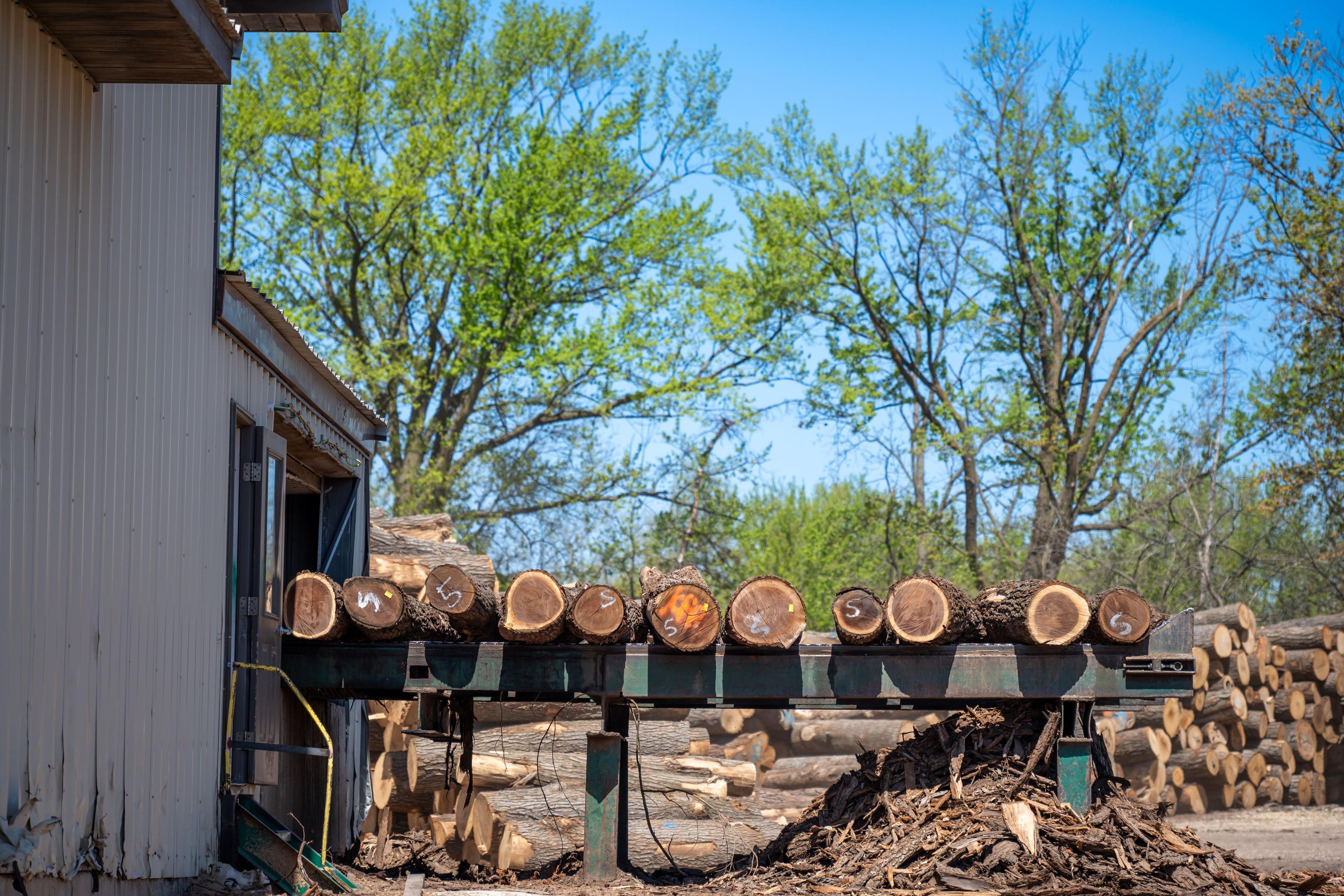
Intelligence for emerging US wood products
With funding from the U.S. Endowment for Forestry and Communities, CTrees is developing a digital system to help forest stakeholders plan for healthy and resilient forests and rural economies.
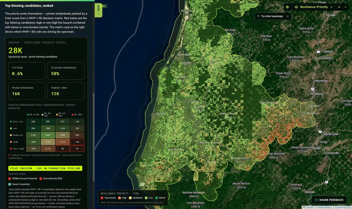
Advanced analytics for forest supply sheds
For the Sustainable Forestry Initiative, CTrees built a pilot data architecture for decision scenarios within supply sheds. Combining ecological and economic data, the tool is designed to inform local management to enhance forest resilience.
Apply scientific data for forest management
Data architecture and analytics to support resilient forests:
- Integrate fundamental metrics like tree species diversity, relative density, aboveground biomass, canopy height, wildfire hazards, and forest productivity.
- Align reports with national inventories and regulatory requirements.
- Integrate data with existing operational systems.

Data architecture and analytics to support resilient forests:
- Integrate fundamental metrics like tree species diversity, relative density, aboveground biomass, canopy height, wildfire hazards, and forest productivity.
- Align reports with national inventories and regulatory requirements.
- Integrate data with existing operational systems.
Monitor agroforestry programs
CTrees’ tree-level data characterizes existing tree canopy height and extent, and assesses tree growth on a monthly to annual basis. In the tropics, the data can be used to plan and evaluate tree-planting initiatives in agricultural and mixed land uses. The same tree-level methods apply to trees across U.S. agricultural landscapes: windbreaks, riparian buffers, and silvopasture.

CTrees’ tree-level data characterizes existing tree canopy height and extent, and assesses tree growth on a monthly to annual basis. In the tropics, the data can be used to plan and evaluate tree-planting initiatives in agricultural and mixed land uses. The same tree-level methods apply to trees across U.S. agricultural landscapes: windbreaks, riparian buffers, and silvopasture.
Expertise in forest landscape monitoring
Expertise in forest landscape monitoring
With experience in ecology, remote sensing, and supply chain MRV, CTrees scientists are developing advanced analytics to track trees in working lands globally.
Get In Touch
Contact us to see how our products can support your goals.
News and Insights


Stay Connected
Subscribe to our monthly newsletter and be the first to know about new data releases, research, and events.