

Forest inventories
Map fundamental forest and tree attributes for jurisdictional policy and forest management
Get in touchFilling the gap for annual forest inventory data
Many countries lack national forest inventory and monitoring systems needed to plan for sustainable resource management and meet Paris Agreement commitments. CTrees partners with agencies worldwide to develop frequent, accurate, and fine-scale inventory data for government reporting and planning.
Extend ground inventory data across landscapes
In jurisdictions with existing ground inventory data, like the U.S. Forest Inventory and Analysis program, CTrees validates its tree-level maps against plots, reproducing and extending inventory data across landscapes. The approach allows for more frequent and landscape-level inventory data, backed by remote sensing.

In jurisdictions with existing ground inventory data, like the U.S. Forest Inventory and Analysis program, CTrees validates its tree-level maps against plots, reproducing and extending inventory data across landscapes. The approach allows for more frequent and landscape-level inventory data, backed by remote sensing.
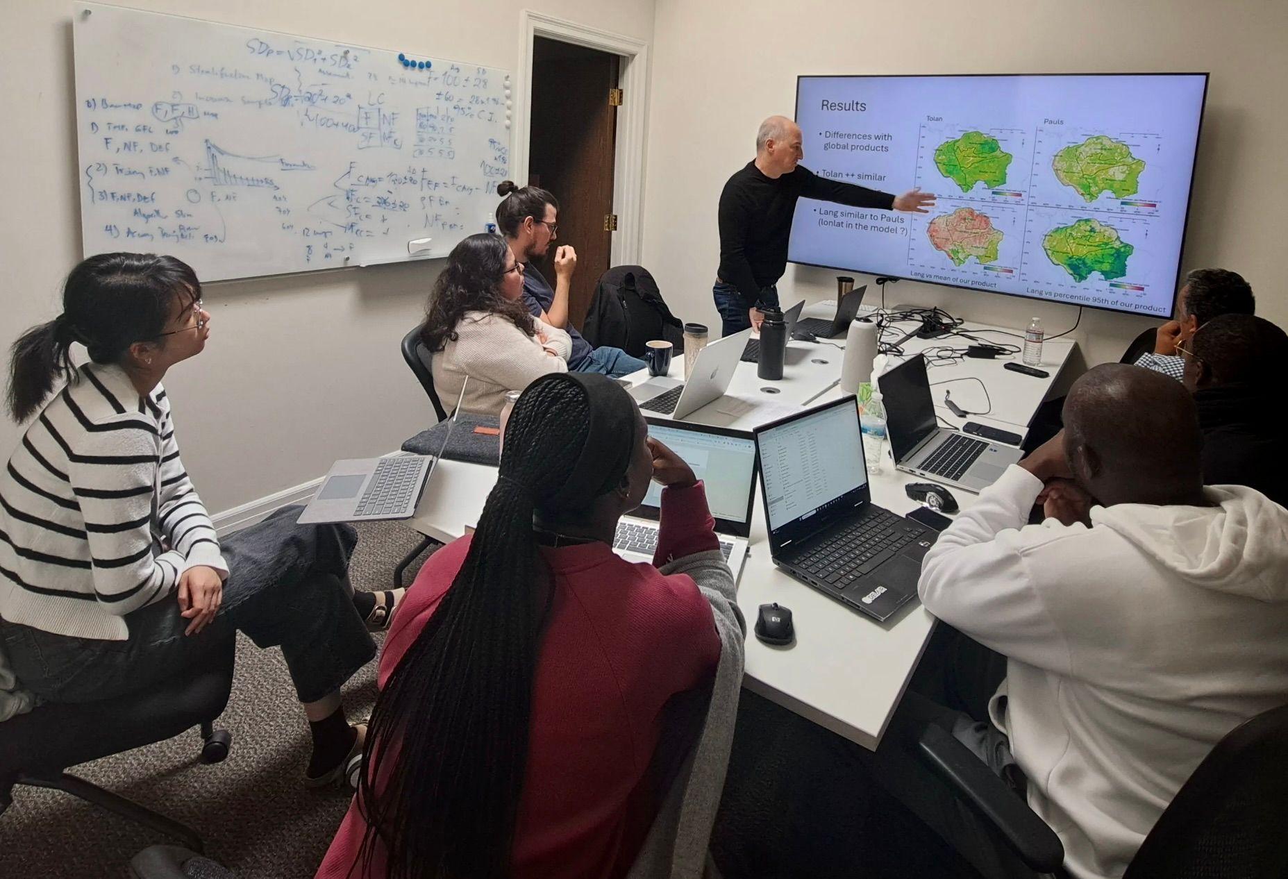
Advancing Gabon's forest inventory
Since 2022, CTrees has partnered with Gabon's space agency, AGEOS to develop a 1-hectare biomass carbon map of the country's forests. AGEOS is now integrating machine learning techniques to improve its monitoring and inventory systems for forest management.
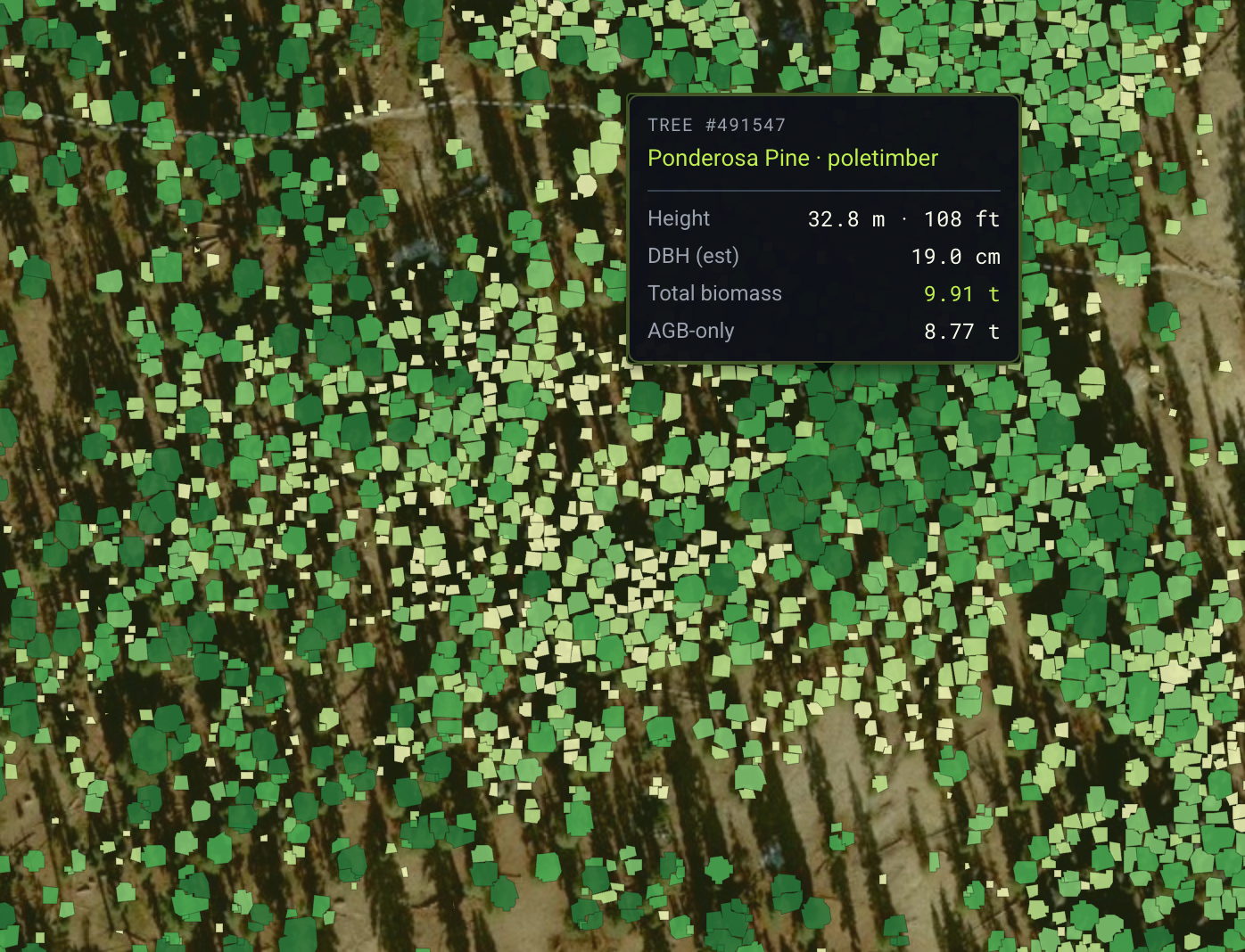
Scaling tree-level insights for US forest management
With the Sustainable Forestry Initiative, CTrees piloted tree-level biomass estimates consistent with the Forest Service's national biomass and volume equations (NSVB), rolled up to the landscape level to support forest management decisions.
Estimate carbon emissions and removals annually
While national forest inventories are typically conducted on a five-year cycle, CTrees technology allows for annual reporting on carbon stocks, emissions, and removals. CTrees’ spatially explicit insights scale from individual trees to national-level metrics, allowing for transparency and policy action.

While national forest inventories are typically conducted on a five-year cycle, CTrees technology allows for annual reporting on carbon stocks, emissions, and removals. CTrees’ spatially explicit insights scale from individual trees to national-level metrics, allowing for transparency and policy action.
Monitor any ecosystem in near-real-time
CTrees’ LUCA alert platform tracks weekly disturbance in all forest ecosystems – boreal, temperate, and tropical. The open data resource can be further tailored for jurisdictions to address specific needs, like JREDD+ performance.

CTrees’ LUCA alert platform tracks weekly disturbance in all forest ecosystems – boreal, temperate, and tropical. The open data resource can be further tailored for jurisdictions to address specific needs, like JREDD+ performance.
Expertise in forest inventory science
Expertise in forest inventory science
With experience in inventory science, remote sensing, and forest policy, CTrees scientists and researchers support states and countries designing the next generation of forest inventories.
Get In Touch
Contact us to see how our products can support your goals.
News


Stay Connected
Subscribe to our monthly newsletter and be the first to know about new data releases, research, and events.