
Experts from Gabon’s national space agency, Agence Gabonaise d'Etudes et d'Observations Spatiales (AGEOS), visited CTrees in Los Angeles in February to gain insights into CTrees’ data products and collaborate on efforts to improve the country’s forest monitoring systems.
Over three weeks, AGEOS engineers Norbert Minko, Carole Moussavou, and Farrel Nzigou met with CTrees scientists to explore challenges for monitoring Gabon’s extensive tropical forests using advanced remote sensing data.
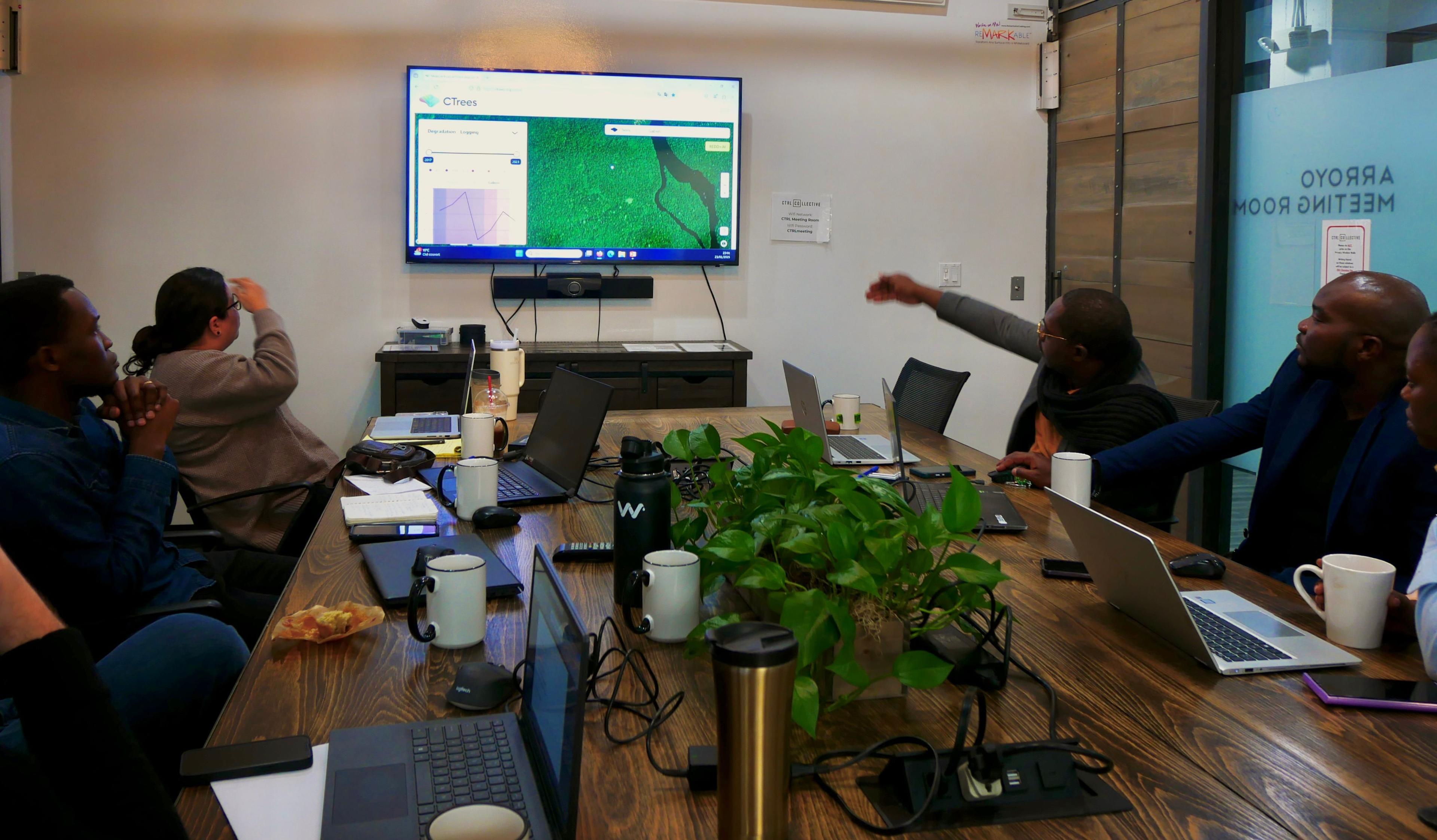
AGEOS expert Farrel Nzigou discusses data needs at a joint meeting in Pasadena.
Gabon has long been a leader in forest governance, with the highest proportion of preserved forests and the lowest rates of tree loss among all Congo Basin countries. The Congo Basin contains the second-largest tropical forests on Earth, second to the Amazon. Continued preservation of these forests is critical to meeting global climate and biodiversity goals while also providing for economic development.
The exchange built on an existing partnership between CTrees and AGEOS, and supported the long-term integration of CTrees’ data on deforestation, tropical forest degradation, and biomass carbon into Gabon’s forest monitoring systems.
“The visit from AGEOS provided an invaluable opportunity to demonstrate the suitability of CTrees’ data products to a wide range of real-world applications, including tracking logging activities, monitoring slash-and-burn agriculture, and detecting disturbances to mangroves in near-real-time,” said CTrees research scientist Le Bienfaiteur Sagang, Ph.D., who leads engagement with AGEOS.
Sagang recently published a map of live carbon for every hectare of forest across Gabon, the most detailed and accurate map of Gabon’s forest resources to date. The research was completed in close collaboration with the U.S. Forest Service, UCLA Institute of the Environment and Sustainability, NASA Jet Propulsion Laboratory/Caltech, AGEOS, and several other Gabonese institutions.
Collaboration with country agencies is critical to ensuring CTrees global datasets provide accurate and reliable results at a jurisdictional level. Scientific data from AGEOS accounts for local environmental factors. By integrating AGEOS data and insights into machine learning models, CTrees scientists can produce remote sensing data products that better inform regional concerns, which include forest management, carbon and biomass estimation, and food security.
As part of the collaboration with AGEOS, CTrees scientist Adugna Mullissa, Ph.D., has already updated the Land Use Change Alerts product based on the Gabonese experts’ feedback. LUCA provides biweekly alerts for forest disturbances globally in any forest biome.
Looking ahead, CTrees will support AGEOS to integrate AI approaches into the agency's forest monitoring systems. CTrees will also seek to extend the Gabon partnership model to other Central African countries seeking access to advanced remote sensing data for forest governance and nature-based solutions.
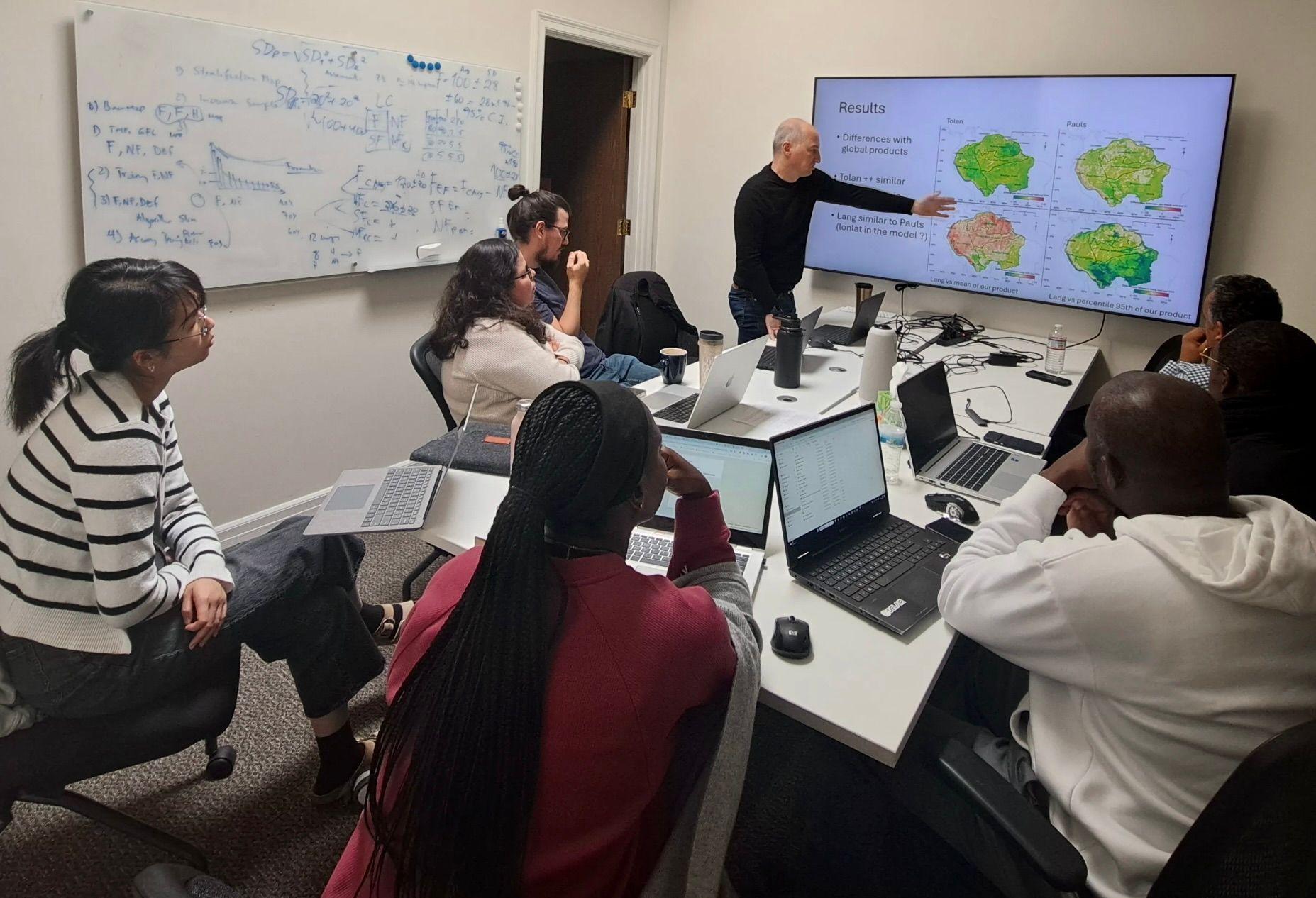
CTrees scientist Fabien Wagner presents examples of 5-m resolution canopy height maps from Planet NICFI data at the CTrees office in Pasadena.


