
Tree-Level Data
Map individual trees at local to national scales

Tree-Level Data
Use information on individual trees to design and implement localized programs such as wildfire fuel management, agroforestry, and urban canopy development.
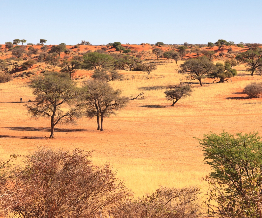
Trees inside and outside forests
Map trees located both inside and outside of forests, such as in savannas, urban areas, and altered landscapes.
Access accurate data on the location, crown size, height, and estimated carbon content of individual trees.
Tree Canopy Height (meters)
0
30


Tree canopy height mapped at 0.6m spatial resolution for a forest plantation in California
Scientific insight
View information on the number, size distribution, and spatial pattern of trees across different landscapes.
Study disturbance and recovery processes, growth patterns, and ecosystem dynamics.
Tree Canopy Height (meters)
0
30


Tree canopy height maps show damage from the 2021 Caldor Fire in California
Data for land management policy
Use precise information on tree-level carbon to inform nature-based climate solutions.
Identify optimal areas for wildfire fuel reduction and management.
partner with ctrees
Contact Us


