

Forest activity data
Track forest activity in high resolution
Forests are changing globally due to the pressures of human activity and a changing climate.
CTrees gives agencies and organizations the scientific data needed to power programs that reduce deforestation and restore landscapes globally.


Forests are changing globally due to the pressures of human activity and a changing climate.
CTrees gives agencies and organizations the scientific data needed to power programs that reduce deforestation and restore landscapes globally.
Operational data for forest monitoring
See forest disturbances globally every two weeks with radar-based LUCA alerts.
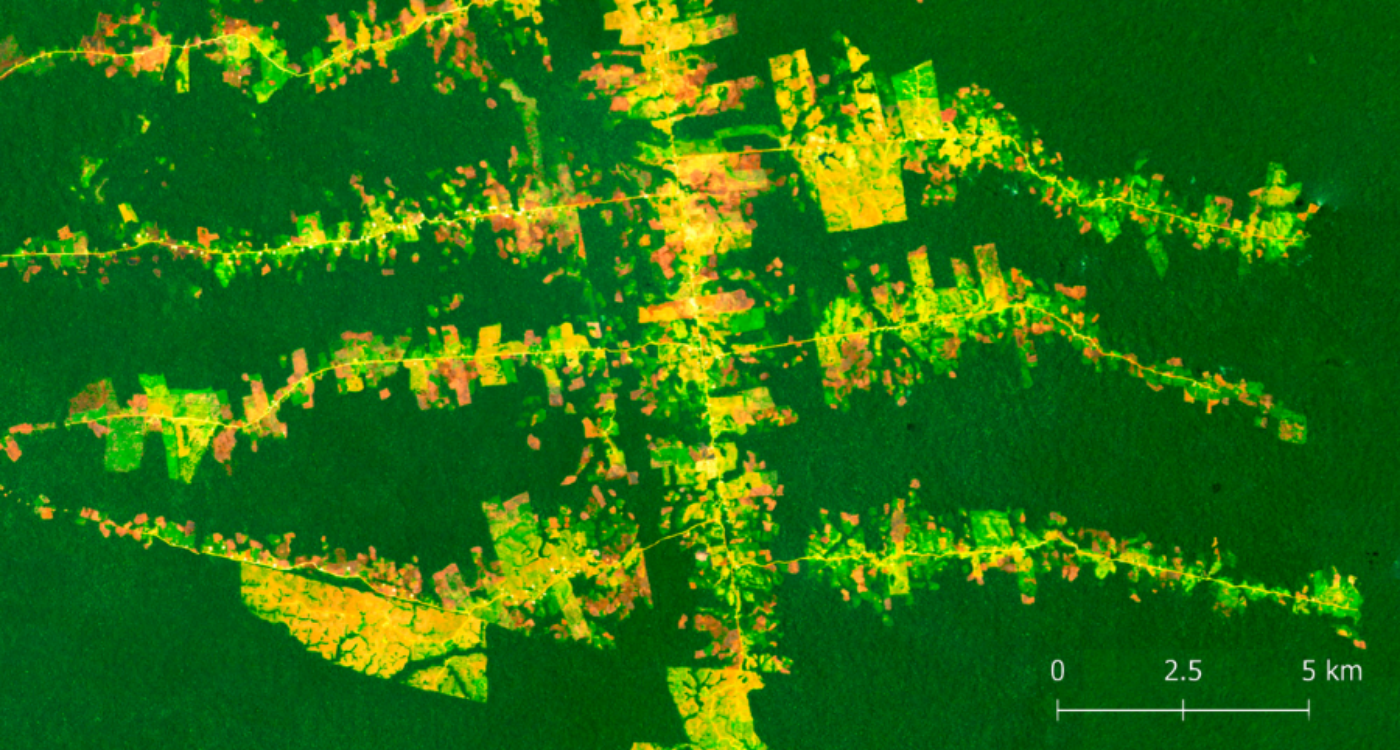
Launch LUCAAttribute forest degradation due to logging, fire, and roads in tropical forests.
Launch REDD+AI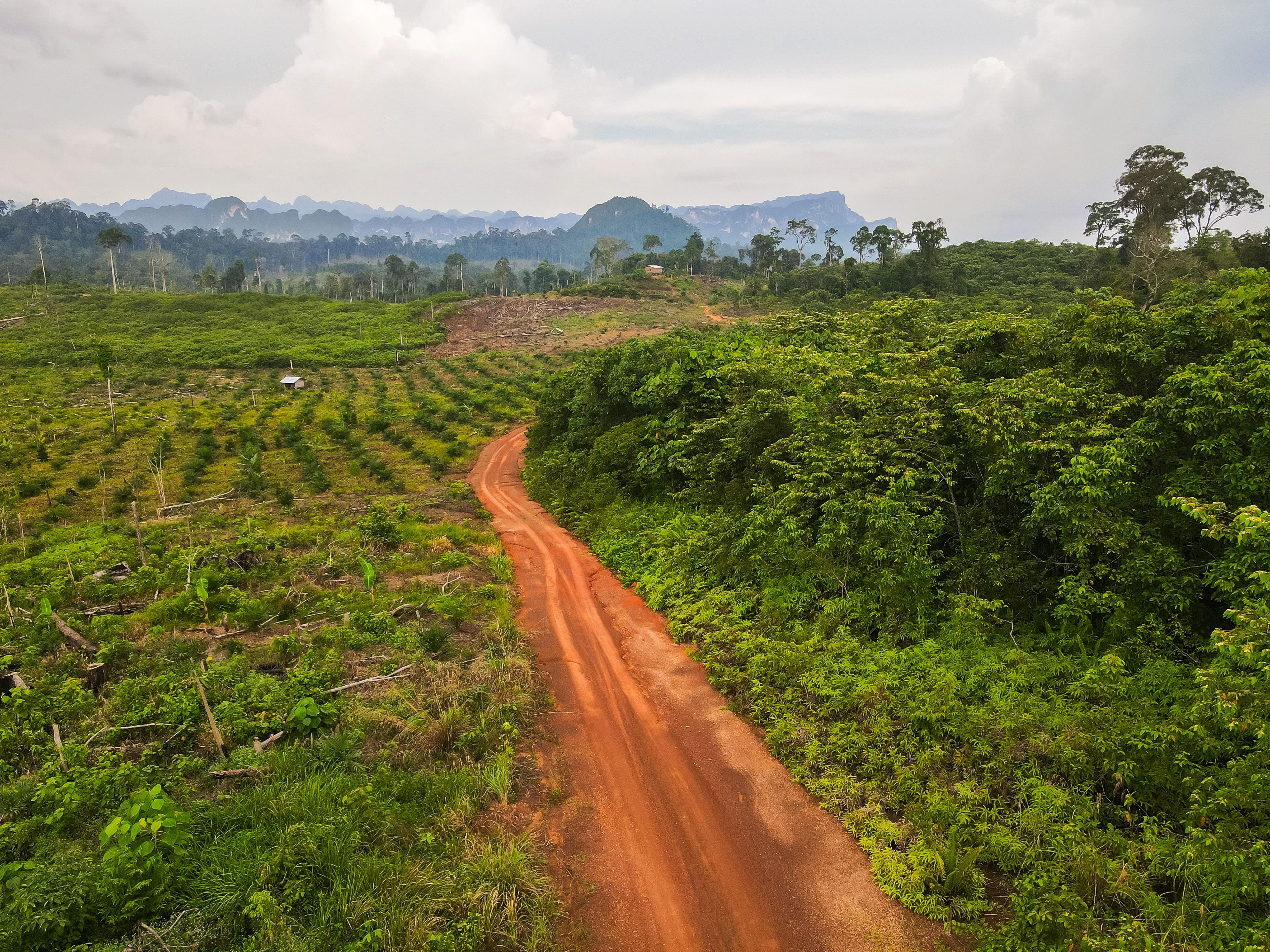
Due diligence for jurisdictional REDD+
For a major corporate investor in forest carbon credits, CTrees evaluated nine jurisdictional REDD+ programs across Latin America, Africa, and Southeast Asia.
Powering REDD+ projects with scientific data
For Verra’s REDD+ methodology, CTrees mapped forest cover and deforestation in 43 jurisdictions across 19 countries, providing scientific data to underpin carbon credit issuances.
Scientific data on forest activity worldwide
Global forests are in a constant state of flux: Natural cycles of growth of mortality combine with significant pressures from human activity and the increasing influence of climate change, disease, and pests. For governments and organizations tasked with managing forests, tracking where change is happening–and why–is critical to guide policy and investment. The variety and variation of change across forest landscapes presents a significant challenge for science and technology.
CTrees’ forest activity datasets bring unprecedented speed and accuracy to systematically map deforestation, forest degradation, and regeneration. The data cover the world’s tropical moist forests, using first-of-its-kind AI technology to detect change in forests that can be attributed to deforestation or forest degradation from logging, fire, road construction, and other activities with more than 90% overall accuracy.
The data allow users to map and analyze trends at multiple resolutions. CTrees’ LUCA alert platform tracks disturbance in all forest biomes globally at a 0.05 minimum mapping unit, on a biweekly basis. In the tropics, CTrees’ degradation and tree cover loss datasets map change at 5-meter resolution on a monthly basis for 2017 to present, and at 30-meter resolution on an annual basis for 2000 to present.
Seeing forest change every week, month, and year
CTrees scientists have led several technology innovations that allow for rapid and accurate monitoring of change in forests, including:
Alerts in all forest biomes
Access weekly radar-based alerts in all forest biomes: humid tropic, dry tropic, temperate, and boreal.
Change attribution
Detect and attribute forest degradation to specific drivers, including logging, fire, and road construction.
Forest regrowth estimation
Measure the area and age of forest regeneration and estimate forest regrowth potential in degraded or recovering forests.
U-net deep learning
Automatically generate training samples of forest and deforested land to train the deep-learning model that produces the deforestation maps.
Tracking forest activity for policy and investment
CTrees’ forest activity data products help government agencies and organizations implement a range of forest governance and finance initiatives:
Weekly to annual forest monitoring
Set up customized monitoring systems for bi-weekly, monthly, and annual reporting. Automatically estimate performance within custom areas or administrative boundaries.
Forest data for supply chains
Identify areas of deforestation in supply sheds, attribute change to logging, fire, or road construction, and improve traceability for zero-deforestation commodity supply chains.
MRV for carbon markets
Conduct due diligence on carbon market projects that improve forest management (IFM), restore vegetation (ARR), and reduce deforestation and forest degradation (REDD+).
Planning landscape restoration
Evaluate restoration potential and monitor regrowth over time, with tracking that differentiates open landscapes, plantations, and primary and secondary forests.
Expertise in monitoring forest change
Access datasets
Explore Data


Get In Touch
Contact us to see how our products can support your goals.